Living so close to the beautiful bush, fire is an integral part of our lives on the Beaches.
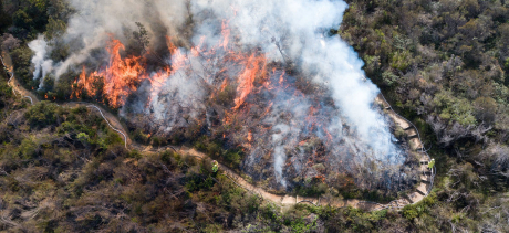
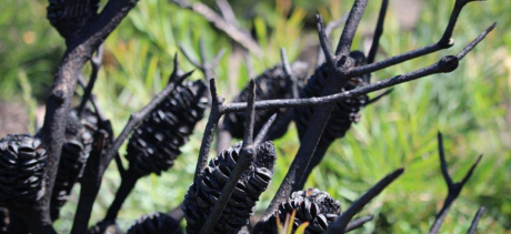
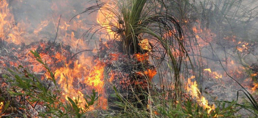
Bush fire is also important for ecology. Fire in the landscape has shaped our natural environment and ecosystems over thousands of years, and many of our plants and animals are reliant on bush fire to regenerate and maintain their health.
Council works to reduce the risk of bush fire in our bushland reserves to protect life, and property and to conserve biodiversity.
The risk of bush fires cannot be eliminated, but their impact can be reduced by effective planning, bush fire management and working together as a whole community.
Council’s role in bush fire management
Council’s bush fire management is guided by the Warringah Pittwater Bush Fire Risk Management Plan 2010 and the Manly, Mosman, North Sydney Bush Fire Risk Management Plan 2010. These plans are strategic documents that identify assets at risk of bush fire and set out a five-year program of coordinated multi-agency treatments to reduce the risk to these assets.
The Northern Beaches Bush Fire Management Committee (BFMC) is responsible for preparation of the Bush Fire Risk Management Plans. Members of the Committee include Northern Beaches Council, the NSW Rural Fire Service, Fire and Rescue NSW, National Parks and Wildlife Service, Crown Lands and NSW Police. The BFMC will be beginning the process of developing a new Bush Fire Risk Management Plan for the Northern Beaches intended to replace the two existing documents.
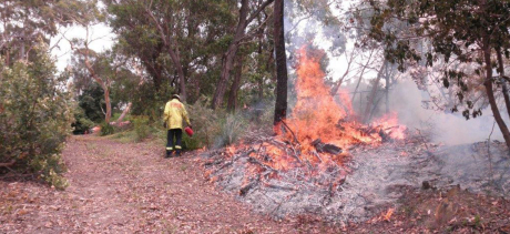
Council is responsible under the current Bush Fire Risk Management Plans for undertaking a range of activities to reduce bush fire risk, including: fire trail maintenance, vegetation maintenance, community education, maintaining controls on development, and working with the NSW Rural Fire Service and Fire and Rescue NSW to undertake prescribed burning such as hazard reduction burns.
Check what prescribed burns are in your area.
Reporting a bush fire hazard
If you are concerned about a bush fire hazard on private or public property, contact the NSW RFS Northern Beaches District office on 9450 3000 or log online on the RFS website.
Once you raise a request, the RFS Community Safety Officer will complete a site visit and advise the resident and Council if works are required.
10/50 vegetation legislation
It is crucial our bushland and native trees are protected and retained on private properties in order to preserve our beautiful natural environment for the future.
Under 10/50 Legislation some clearing of vegetation is allowed if your property is mapped in the 10/50 entitlement area. However, you must fully comply with all required conditions for your property or penalties apply.
Bush fire prone land mapping
Bush fire prone land is land that can support a bush fire or is likely to be subject to bush fire attack, as designated on a bush fire prone land map. Find out more
Hazard map
You can also check if your property is in bush fire prone area (and flood and coastal erosion risk) on our hazards map and find out what you can do to protect your family and home.